PERCORSO LOGARGHENA

Da piazza Italia si procede sempre dritti in direzione del centro storico e si attraversano i due ponti fino ad arrivare sulla SS62 della Cisa. Arrivati sulla statale vi troverete di fronte ad una rampa che vi farà oltrepassare i binari della ferrovia. Prendendo questa rampa sul lato destro iniziate una dolce salita che vi porterà fino al paese di Arzengio.
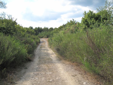
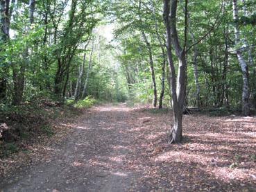
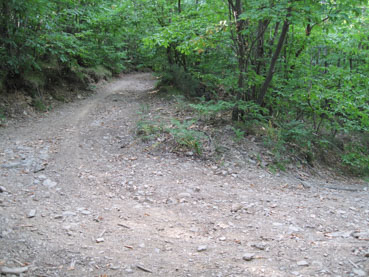
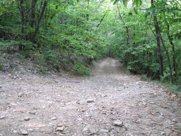
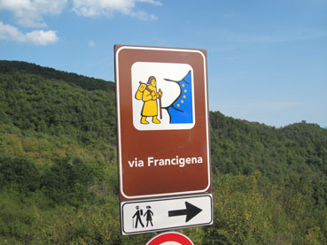
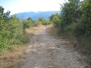
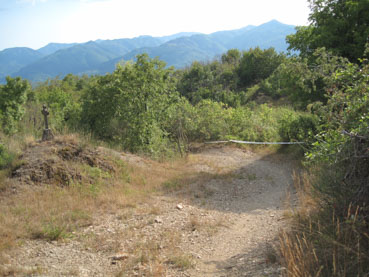
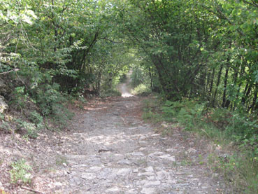
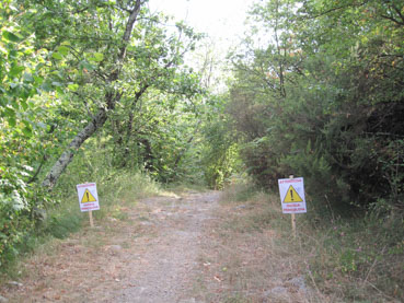
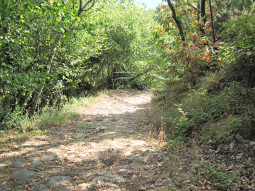
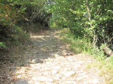
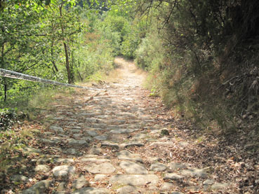
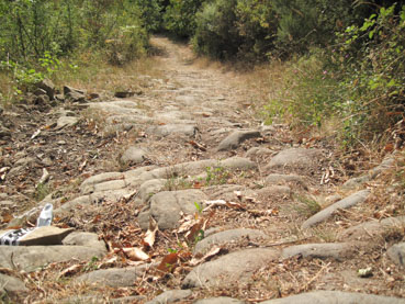
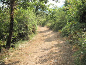
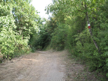
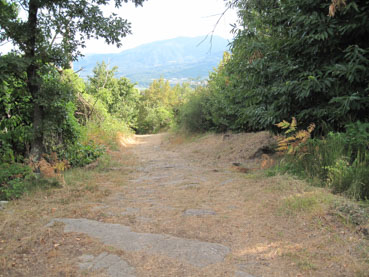
Oltrepassato Arzengio, al km 5, inizia una salita sterrata più impegnativa che vi condurrà fino al Passo della Crocetta dove troverete una piccola Cappella nel bel mezzo del Bosco. Da questo punto pedalerete per quasi 2,5 km su un tratto della Via Francigena proveniente dal Passo della Cisa.
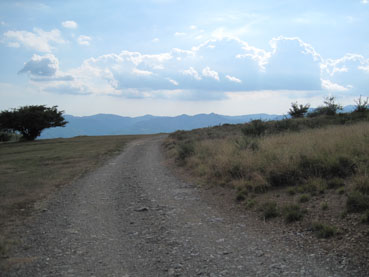
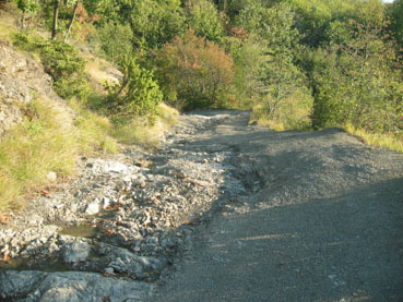
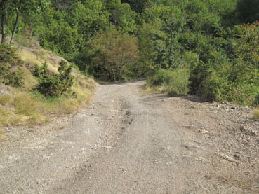
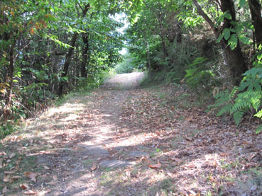
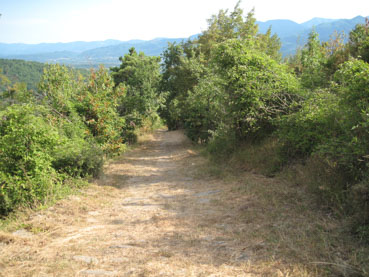
Sbucati sulla strada asfaltata in prossimità di una Maestà svoltate a destra e salite per circa 5 km su una strada prima asfaltata e poi sterrata, che vi farà raggiungere i prati di Logarghena in località Monumento alla quota più alta del percorso di 988 mt slm.
Da qui fino a Pontremoli sarà tutta discesa; dopo 4 km si ritorna nuovamente al Passo della Crocetta, dove si prospettano due diverse possibilità nel raggiungere nuovamente il paese di Arzengio.
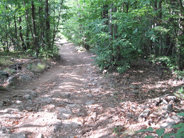
I più esperti potranno svoltare a sinistra e scendere sulla ripida e tecnica discesa della Via Crucis con il famoso tratto dei âMassacriâ (tratto di Via Francigena), mentre i meno esperti proseguendo per la strada principale raggiungeranno Arzengio senza nessun problema.
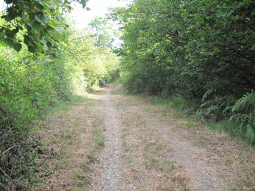
Lâultimo tratto verso Pontremoli è un tratto di Via Francigena che si imbocca nei pressi del cimitero di Arzengio. Arrivati a Pontremoli per raggiungere Piazza Italia dovrete percorrere il sottopasso della ferrovia sulla SS62 della Cisa e rifare al contrario il primo tratto della partenza oltrepassando i due ponti sui fiumi Magra e Verde prima di arrivare in Piazza Italia dopo 23.7 km e 996 mt di dislivello.
Go straight from Piazza Italia in the direction of the historic centre, then cross the two bridges until you reach the SS62 of the Cisa. Once you have arrived on the state road you will find a ramp in front of you where you can cross the railroad tracks. After taking this ramp, on the right side you will start a gentle climb that will take you to the village of Arzengio.
After 5km, a more demanding dirt climb begins which will lead you to the Crocetta pass where you will see a small chapel in the middle of the woods. From this point you will cycle for almost 2.5km on a stretch of the Via Francigena coming from the Cisa pass.
When you reach a chapel, turn right and go up for about 5km on firstly a paved road and then a dirt track, which will take you to the Logarghena meadows at 988m MSL, the highest altitude of this route.
The return towards Pontremoli will all be downhill. After 4Km you will return to the Crocetta pass where there are two different possibilities to reach the village of Arzengio.
The more trained cyclists can turn left and descend the steep and technical descent of the âStations of the Crossâ, while the less experienced can continue on the main road to Arzengio with ease.
The last leg towards Pontremoli is a stretch of the Via Francigena which you take near the cemetery of Arzengio. To reach Piazza Italia you have to take the railway underpass on the SS62 of the Cisa and repeat the first part of the route by crossing the two bridges over the Magra and Verde rivers, before arriving in Piazza Italia after 23.7km and 996 metres of cumulative elevation gain.

